July 21: Just a few minutes after midnight, I woke up. Not because I had been restless or a large, noisy vehicle drove by, but rather because it started raining. Often times, when rain starts, it's a gradual affair. A few drops here and there, increasing in intensity until it turns into a heavy downpour, but that didn't happen this time. It was from 0 to 60 in just a few seconds. And, not expecting rain, I hadn't set up a tarp. In mere seconds, everything in camp was wet.
I heard Little Cave in his tent nearby start cussing loudly. Although he was in a tent, he had not set up his rain fly so plenty of water was getting into his tent as well. I could see his headlamp turn on as he got out of his tent to quickly install the rain fly, cussing the whole time.
Not really being well situated for setting up a tarp, I decided to do the old trick of throwing it over me like a blanket instead. It seemed like the quickest, easiest way to get some rain protection. I was already wet, but if it took even a couple of minutes setting it up, I'd be completely sopping wet. It was the best of a bad situation, and I was in damage control mode.
And then I just laid there, waiting for the rain to stop. It had to stop eventually. The weather forecast actually called for clear skies in the morning. I could feel the heavy drops of rain impacting my tarp and the water slowly seeping through. Fortunately, it wasn't a particularly cold rain, but it wasn't exactly warm either. Also fortunately, all of my electronics, my journal and other easily-damaged items were safe and dry in Ziplocks bags. I'd be wet, and my clothes would be wet, but they could dry out eventually and no harm done.
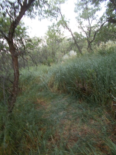 |
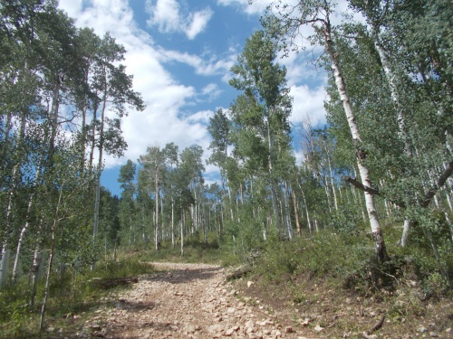
| My nest was clearly visible the next morning, surrounded by the tall grass that helped obscure me from the road passing by. |
And I waited for the rain to stop. Eventually, I knew, it just had to stop! It continued on for another 40-45 minutes before finally tapering off, although tree snot continued to be a problem the rest of the morning.
Initially, my goal had been to get an early 6:00am start to my day's hike in an attempt to finish this stupid road walk and detour by the end of the day and reconnect with the red-line CDT, but the wet conditions around sunrise slowed me down a bit and I wasn't ready to get hiking until closer to 6:30am.
Little Cave was still in his tent when I left, but he was awake and talking and we discussed the surprise overnight rainstorm. He couldn't figure out why I didn't actually set up my tarp, saying that I just looked like a dead body under the tarp. It was the strangest thing he'd ever seen. "You looked like you were sleeping through it!"
Oh, I definitely knew what was happening, but I figured I'd have gotten even more wet actually taking the time to set up my tarp. Throwing it over me like a blanket was the lesser of two evils at that point. If only the rain had come in gradually!
So I started the day's hike, wearing wet clothing but at least it wasn't sopping wet. =)
A few miles down the road, I reached the small town of Clark. Well, calling it a town might be giving it more credit than is due, but it had a few buildings including one called the Clark Store where I could order a breakfast burrito (pretty good and huge--I was stuffed after finishing it!) and a Coke. I actually skipped eating breakfast in camp, wet and miserable, knowing that there was a store with hot food just a few miles further up the road. I was also able to get a wi-fi connection and check a few messages while sitting out in the sun trying to dry out.
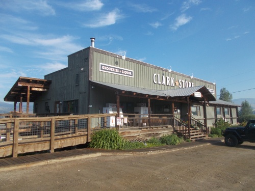 |
| The Clark Store--civilization! |
Little Cave showed up while I was still drying out and did his own shopping, and shortly thereafter, I continued onward. This time I hiked for about three hours until reaching another small and undoubtedly unincorporated town near Hahns Peak. At the Hahns Peak Roadhouse, there was a small general store and a restaurant. I stopped at the general store for a cold Gatorade, but decided to skip the restaurant since I was still feeling pretty full from the breakfast burrito I ate earlier.
While sitting outside, drinking my Gatorade and checking email and messages again, Reality Check showed up. It had been weeks since I last seen her, so we started catching up a bit and watched a dark cloud sweeping in, and we judged the chances that it would include rain as pretty high. We watched it coming in, though, and I decided to delay my departure a bit and wait it out while I was near civilization.
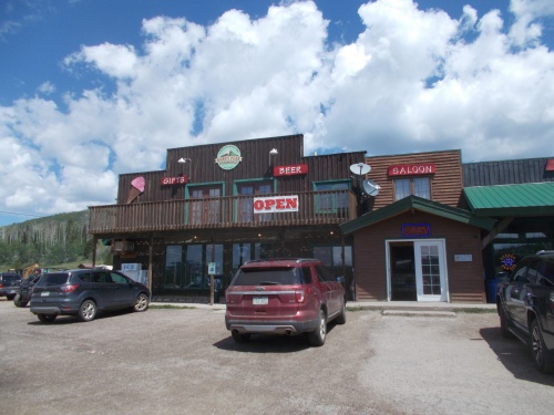 |
| Hahns Peak Roadhouse |
I watched a troop of horses leave with a bunch of tourists riding them, which looked it could be fun if it wasn't for that rain cloud bearing down on us.
Then the rain finally reached us and Reality Check and I decided to head into the restaurant after all, more to escape the rain than because we wanted the food there. The food was just the price of admission. =)
I ordered an Italian grinder and water. While ordering, Little Cave also should up, happy to have largely missed the worst of the rain. It was really starting to pour buckets outside now--a heavy, drenching downpour that I was glad to have avoided.
While looking at Google Maps online, I noticed a small forest service road that seemed to cut off from Highway 129 which we had been hiking. I had told Google to show me walking directions back to the CDT which is where this small forest service road showed up. It shortened the route by less than a mile and included a climb over a ridge that the main highway avoided, but the part that most appealed to me was that it wasn't the busy, paved Highway 129. Looking at the satellite imagery, the road appeared to be gravel. A quiet gravel road beats the socks off a busy, paved road any day!
Other than what I saw on Google Maps, though, I had absolutely no information about the condition of the road or even if it was really passable. But still, I hated the Highway 129 road walk. I was willing to take the chance. Reality Check and Little Cave said that they planned to stick to the main alternate that all the other hikers were using and not take the chance on an unknown route.
If I was going to do this, I'd be doing it on my own.
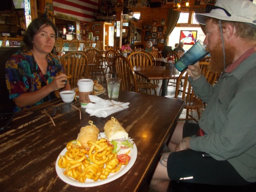 |
| Eating lunch (an Italian grinder) with Reality Check and Little Cave. Little Cave arrived a bit after we did so his food wasn't ready yet. |
The rainstorm passed after about a half hour, and after finishing my meal and paying the bill, I headed out to try this new route.
The route was a little confusing at first, zigzagging along a few unpaved, unmarked gravel roads, and I passed through one small area that warned that the road was passing through private property and that under no circumstances was anyone supposed to leave the road, but I winded my way through and finally reached FSR 410, and it was an absolute pleasure to walk compared to the main highway!
The route climbed slowly and steadily to the top of a ridge along a quiet, gravel road. No vehicles passed by, and I took a short break near the top of the ridge at which point a few people on ATVs did pass me. Those were noisy and unpleasant, but once they were gone, I had the road to myself again the rest of the way down the ridge where it reconnected with Highway 129 once again.
 |
| I was so happy to get onto this forest service road and off the busy, paved highway! And so glad that Google Maps suggested the route to me, because otherwise I'd have never known about it! =) |
All-in-all, I was quite happy with the detour of the detour. Much more pleasant than the main highway.
The last tenth of a mile before reconnecting with the main highway, I saw Reality Check cross the intersection. She looked down the road and saw me approaching, and stopped for a couple of minutes for me to catch up. I told her about the route and gave it two thumbs up. Much better than that road she followed. =)
We hiked together for a few miles, but she walked quite a bit faster than me and eventually left me in the dust. We arrived at the end of the paved road and continued onward along gravel roads, which was thankfully much improved over the paved portion since there was far less traffic now and gravel is just easier to walk on. This gravel road, however, unlike FSR 410, was relatively busy and every vehicle that drove by raised dust that we'd end up choking on. Fortunately, there weren't a lot of vehicles, but even one vehicle every 10 minutes or so was still much too busy for my taste.
Near sunset, I found myself near Big Red Park, still short of my hope to be back on the official CDT by the end of the day, but I had pulled off over 25 miles. Reality Check was somewhere ahead of me, and I wasn't sure what happened to Little Cave, but I suspected he was somewhere behind me. Milkshake and Puffy, who I expected I might run into today, I never did see.
So I set up camp by myself, at the edge of the meadow and settled in for the night. Allegedly, no rain was in the forest. I crossed my fingers and hoped that was really true. =)
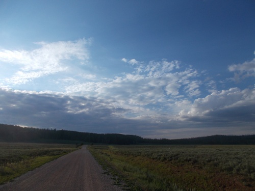 |
| This is Big Red Park, and I'd set up camp alongside the gravel road. |
 |
| And now we'll go back to the morning's photos so you can see more of the photos from the day that I didn't use in the rest of the blog. |


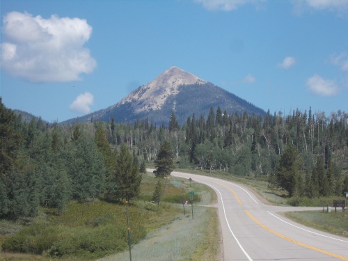 |
| That's Hahns Peak up ahead. |
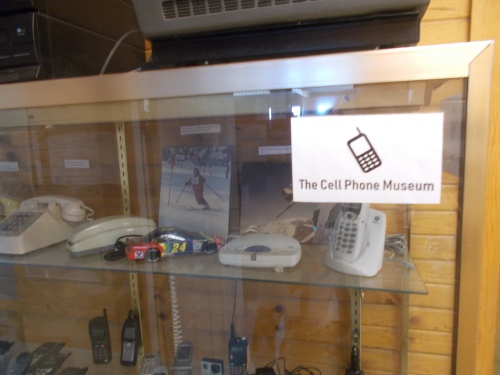 |
| The Hahns Peak Roadhouse also included this unexpected attraction: a cell phone museum! |


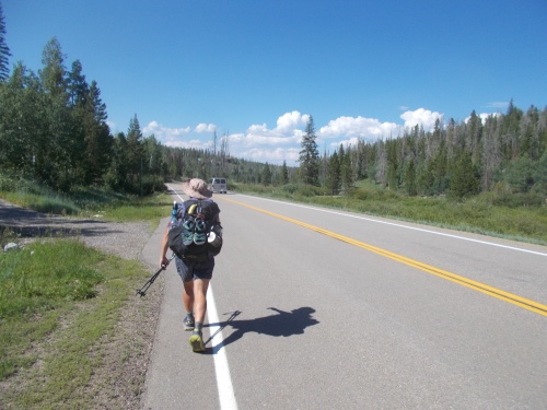 |
| I ran into Reality Check again at the end of my forest service road detour, and we hiked a few miles together. |
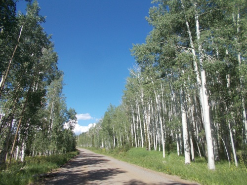 |
| Fortunately, the paved portion of the road finally came to an end. |
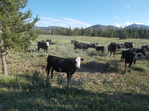 |
| Definitely in cattle country! |
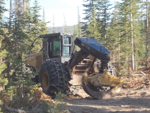 |
| Also in logging country! |


1 comment:
A little something I learned earlier this week:
"All butterflies have long, thin antennae that end in a thickened tip. But no North American moths sport these “clubbed” antennae. Instead, they have shorter, feathery antennae—especially prominent on males—that are beautifully plumed and designed to catch wafting pheromones released by females."
Your last photo reminded me.
Post a Comment