September 2: During the night, it became surprisingly cold and I laid in my sleeping bag, reluctant to start the day. I wound up not getting on the trail and hiking until about 7:40am. Definitely a lazy start to the day!
The day's hike was largely uneventful. The biggest excitement for me was that I finally reconnected with the main, red-line CDT! I was back in Guthook territory! It took me 11 days (with no zero days!), but the Super Butte Cutoff was finally over!
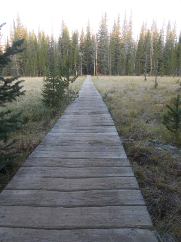 |
| The morning was cold enough to form some frost on this boardwalk. |
Much of the day followed gravel roads. There was some real trail in the morning--a continuation from the trail I had reached last night--but it didn't last long. I reached a trailhead and continued the rest of the day mostly along gravel roads, but fortunately they weren't particularly busy or problematic.
The route took me under I-15, which if I had still planned to go into Butte, I would have tried to hitch a ride south into town. As the weather was great, however, and I was able to resupply in Whitehall, I pushed onward. My days of good weather were numbered. I couldn't be wasting them by goofing around in town for no good reason.
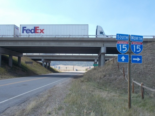 |
| I passed under Interstate 15, which if I wanted to go into Butte, this would have been a good place to get a ride into town since it headed due south into the city. (Not on the FedEx truck, however, since that was heading north.) |
Sometimes during the day, I noticed smoke drifting through parts of the sky. It wasn't very bad, but it was still there. Late in the day, I noticed what appeared to be a couple of slash piles that had been burned recently, and I wondered if it was connected with the smoke in parts of the sky. Coincidence? On the other hand, I was a little surprised that they'd be burning slash piles at all with wildfires burning out of control not far away. Did they have time for that? Maybe the sites I saw weren't slash piles--just small fires that had been extinguished? I couldn't really know for sure. If it was a slash pile, the evidence had burned!
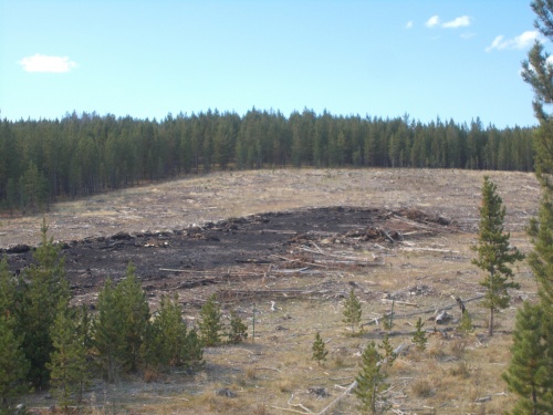 |
| I passed a few of these small burned areas, but they were so small and limited in size, it made me think that they burned a slash pile and it wasn't just an out-of-control wildfire. |
I wasn't on the red-line for long, however, before I took a small alternate that led toward the Lowland Creek Campground--which, according to Guthook, had toilets and a water pump. It was really the water I wanted, but I was happy to use the toilets while in the area. As an added perk, the route was 1.8 miles shorter than taking the red-line the whole way then walking off trail to the campground.
The water was definitely a necessity, however, since it was the last reliable water that I knew about for nearly 20 miles. I wouldn't have access to water again for nearly 24 hours! So I definitely needed to fill up.
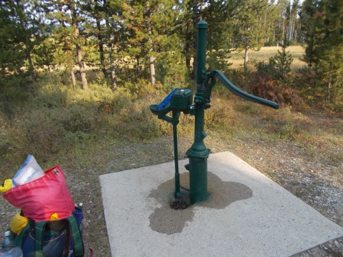 |
| Water at the Lowland CG came from this pump. =) |
It was tempting to stop at the campground for the night. It was already late in the day when I arrived, and I had already completed over 20 miles when I reached it. The small fee for the night wasn't a hardship, but the weather was still excellent and I was in a good mood and wanted to keep going while the weather was so pleasant. I did stop to cook dinner at a picnic table near the water pump--use and abuse the water while I could!
After dinner, I pushed onward another 40 minutes--about 2 miles--near where the alternate route I was following reconnected with the red-line CDT once again.
Somewhere along this stretch, I realized that I had no topo maps to follow! The Azena maps I had downloaded weren't working for some reason, and since I entered a new state since I last used Guthook, I had apparently forgotten to update my settings to download the topo maps for Montana. So I had neither the Azena maps that I had been using for the Super Butte Cutoff nor the topo maps on Guthook. Hiking a trail without topo maps is like hiking naked. It made me feel very exposed!
As
soon as I could find a strong enough cell phone signal, perhaps I could
download a topo map. Until then, however, I'd have to live without it.
=(


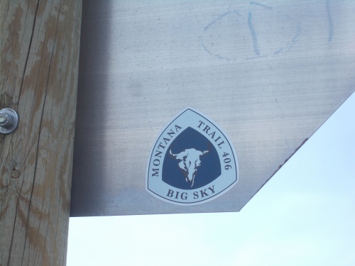 |
| Well, that's a trail I hadn't heard of before.... |


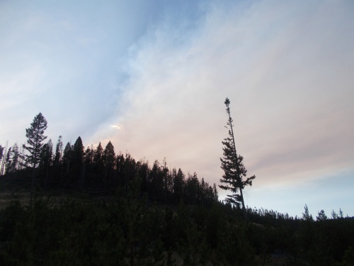 |
| Some of the clouds looked colored with smoke, but where was it coming from?! |


No comments:
Post a Comment