Wandering around the world long distances on foot....
Wednesday, February 3, 2016
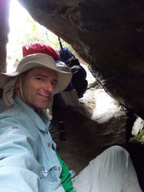
Day 138: The Mahoosuc Notch
July 23: I had big plans today. I was going to knock off 16.4 miles today. I'd get an early start, hitting the trail at 6:30 in the morning. It would be a touch section of trail, no doubt about that. Today I'd pass through the Mahoosuc Notch, often called the "toughest mile of the Appalachian Trail." There's an element of truth to that, and I'd done it before. I knew.
Pulling off 16.4 miles today--that would be excellent. I could do it!
What I failed to remember is just how hard this section of trail really is. Not just Mahoosuc Notch, but the whole trail! It took me four hours to hike the five miles to reach The Notch. Four, strenuous, back-breaking miles. Scrambling up and down steep rocks and staircases. Above tree line, the weather had taken another turn for the worse with wild, cold winds that you'd have to lean into to walk through, sapping your energy with every step.
Reaching the Mahoosuc Notch was somewhat of a relief. At least the winds weren't able to get down into the canyon. The notch is a jungle-gym of house-sized boulders that have fallen between two steep mountains. The trail goes over them, around them and, at times, under them and through through. It's a full-body workout to make it through the one-mile notch. As I approached the beginning of it, I collapsed my trekking pole and put it in my pack. It would just get in the way along here. I needed my hands free and unencumbered.
I worked my way slowly through the notch. Very slowly. I'd pull myself up rocks and carefully descend them, grabbing at whatever handholds or trees I could find readily available. What was a strenuous trail before reached a level that is impossible to imagine. Despite its difficultly, however, I loved it. It was different than the rest of the trail! Exciting! Decisions to be made! Should I go over the boulder, or through that tiny crack in the bottom underneath it?
I loved hiking through the Mahoosuc Notch the first time around, and I loved it the second time around. Now, if the whole trail were like this, I'd quickly grow sick of it and cuss the people who created it vigorously, but for one mile, it's an exhilarating adventure.
Despite only being one mile long, it took me two hours to navigate my way through. If the difficult of a trail was measured purely based on the speed one could travel through it, the Mahoosuc Notch would definitely be the hardest mile of the trail. Quite literally, I averaged a mere one-half mile per hour! Not even one kilometer!
By the end of the notch, my arms were a bit sore from all of the climbing I'd done. I hoped they wouldn't be too terribly sore when I woke up in the morning.
Parts of the trail where they installed this stuff were actually pretty easy by comparison to where they didn't install assistance!
From there, the trail climbed about 1,500 feet in 1.5 miles--steep by anyone's standards, although not as technically difficult as the trail leading up to the notch and certainly a lot easier than the notch itself!
And finally, more than 10 hours after I started, I reached the Speck Pond Shelter. I had covered a measly 9.5 miles. It was only 4:00 in the afternoon--not especially early, but I was absolutely and utterly exhausted. The next shelter--my original goal for the day--was still 6.7 miles ahead. Nope. Stick a fork in me. I was done.
I was a little frustrated at myself, though. I hadn't even completed 10 miles. I had to cheer myself up a bit. It wasn't a lot in distance, I reminded myself, but it's a huge amount of effort! Then I'd remember.... I wasn't done with the difficult sections of trail. Nope, there was still a lot more of that ahead....
I'm not sure what I was saying in this video, but you can certainly get a sense about the difficulties I had above treeline!
You think all these photos look bad so far, but we haven't even reached the Mahoosuc Notch yet!
Welcome to The Notch! A jungle-gym of house-sized boulders in a narrow canyon!
Despite it being late July, some of the crevices in the Mahoosuc Notch were so deep and cold, they still had snow in them!
I'm sliding through a narrow hole at the bottom of this boulder here.
Now I'm heading through another hole. This one was so small, I took off my pack to push it through ahead of me!
See those arrows? That's the trail! UNDER these rocks!
It doesn't even look like that hole has an exit! (But it does. *nodding*)
This is me coming out the hole from the previous photo. Like a groundhog poking its head out of the ground! (And once again, I'm pushing my pack out in front of me since the hole is such a tight squeeze.)
Once you get out of the notch, then you have the 1,500-foot climb up on Muhoosuc Arm. The pain and difficulty never ends! (Although I'll say, this section was actually the easiest part of the whole day for me!)
The Muhoosuc Arm is steep, but it's largely free of obstacles to slow me down. Coming down would have been a lot worse since the rock is so slick and slippery, but going up wasn't bad.
Speck Pond
Speck Pond Shelter--my home for the night. From left to right, that's Mouse, Home Wrecker, Green Fire and (if I remember correctly), Top Fuel.
I can't believe these photos! It doesn't seem like a "trail!" I thought it was rocky and steep before but this is ridiculous! Thank God for virtual hiking!


1 comment:
I can't believe these photos! It doesn't seem like a "trail!" I thought it was rocky and steep before but this is ridiculous! Thank God for virtual hiking!
Post a Comment