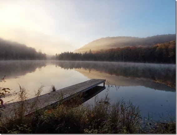
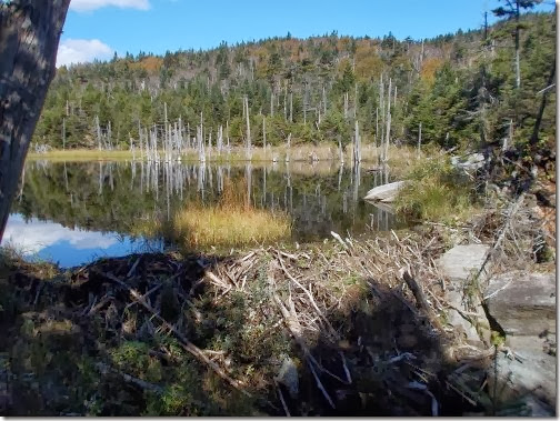
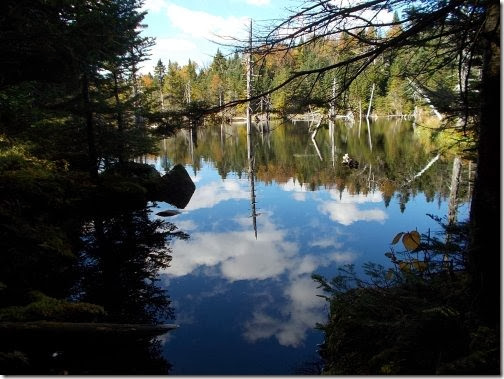
 September 28: In the morning, Purgy and I woke up to fog. A thick layer of fog that seemed to fill the lake, and I was a little disappointed about this since I had hoped for a beautiful sunrise over Ritterbush Pond. I ate breakfast, at which point much of the fog had burned off and I could once again see across the lake. And the view! What a view!
I finished breakfast, then wandered over to the dock by the shelter to take photos. Immediately, I noticed dozens of beer cans littered around the shelter—beer cans that weren’t there the afternoon before. I wasn’t entirely sure if the drunken idiots from the night before had actually slept in the shelter or if they had left in the middle of the night after I fell asleep, but I saw a dog at the window of the shelter and I knew they were still in there. A part of me thought it would be hilarious to pound down the door and shout, “GOOD MORNING, EVERYONE!” all bright-eyed and perky, hoping to annoy these people as much as they annoyed us upon their arrival at the shelter last night, but good sense prevailed and I steered clear of the shelter going directly to the dock instead.
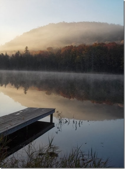
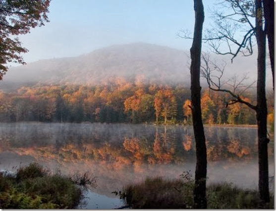
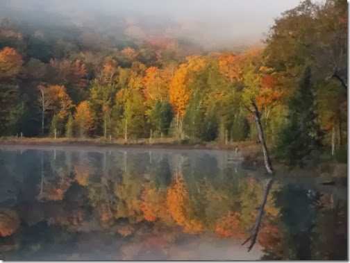
And the view! What a view! I eagerly took dozens of photos—I couldn’t stop myself. Even when I was taking the photos I thought that these were, hands-down, the best photos I’d taken on the entire hike so far. (Just ignore the beer cans around my feet! I thought.) There was still a hint of the morning fog, but the trees positively glowed in the morning light with their fall colors. I walked back to the campsite where I told Purgy that he really needed to check out the view from the dock because it was absolutely stunning, but now I wanted to walk down to the other shelter for yet additional photos from another perspective.
I took tons more photos, absolutely enthralled with the views. The fog drifted in and out, so sometimes the views were better than others, but it certainly kept me alert! Eventually, a thick layer of fog came back and stayed, and it was time to start hiking again. I left camp a little before Purgy.
 The trail soon crossed Highway 118, at which point I almost immediately lost the trail. I was on a wide, clear path which led directly into a large mud puddle on the trail where I could see hundreds of ankle-deep prints left by hikers before me. Tree falls blocked the trail, though, and I tried to find a way around the left side of it, but I couldn’t find the trail in that direction. So I backtracked and tried going around the mud hole to the right, but was blocked by more trees and bushes before I could find the trail again. Where the heck did the trail go?
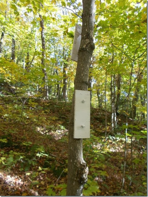
After about ten minutes of pondering this, I looked back up the trail—clear as day—and followed it down into the mud pit where the trail just seemed to dead end, and thought maybe I should back up even more to make a wider sweep around the dead end. I looked back and to the side of the trail when I noticed a small, white blaze on a tree that wasn’t at all where I expected to see one. It wasn’t in the direction I had come from, and it wasn’t in the direction I was trying to get. Did I somehow miss a turn?
I backtracked a bit until I noticed that the trail did, in fact, make a slight, barely perceptible turn, but so many people had missed it that the wrong turn actually looked like the main trail while the correct trail barely looked like a game path. I could totally see how I missed the turn, and I was frustrated at my loss of time but glad to finally be back on track again. The GMC really needs to mark that section better. Given all of the footprints in the mud hole, I knew I wasn’t the first (or the last) person to miss that turn!
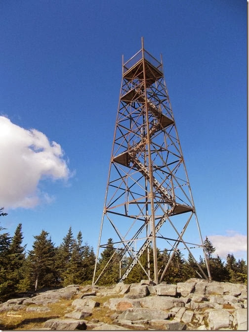
The trail over Belvidere Mountain grew considerably more difficult than the last couple of days of hiking had been. Mud become the norm over flat ground, and steep, slick rocks became the norm on the unflat ground. The trail doesn’t lead to the very top of Belvidere Mountain, but a short 0.2 mile side trail leads to the top where there’s a fire tower. Of course, I had to go up in the fire tower, which meant I had to take the 0.2 mile side trail to the top. The views were absolutely fantastic! But I didn’t linger—I had left my pack down at the trail junction and I was leery about leaving it unattended for too long. Lord knows what kind of animals could be getting into my pack right now!
My pack was unscathed, though, and I continued hiking. The mud on the trail became epic. At one point, I slipped and fell directly into the mud making a mess of my pants, shoes, and the cuff of my shirt where my hand fell into the mud to catch myself. Another particularly muddy area had bog bridges built, which looked solid until I took a step on it at which point it promptly sank into the bog nearly up to my knees!
 Eventually, however, I made it to Hazen’s Notch Camp just before sunset. When I arrived, two Canadians had a campfire going, and one American from Georgia named Mike was hiking southbound. The Canadians were just out for a night or two, but Mike was thru-hiking. Being from Georgia, he had a deep southern accent. He was a large man, built like a football player, with a wild beard—the kind you imagine someone growing if they were stranded on a deserted island without any razors. He seemed nice, but he looked kind of scary and I couldn’t help but think that he reminded me of photos of the Unibomber.
The Canadians decided to camp in their tent outside, and Mike, Purgy and I were chatting in the shelter when Mike left for a bit. As soon as I did, I turned to Purgy, “He’s going to kill us in our sleep!” I told him.
And Purgy didn’t seem at all surprised at this observation, but instead noted that I was sleeping closer to him so he’d have to kill me first and he’d make a run for it.
Well, I’m glad he had a plan, but I can’t say I liked it much. =)
All joking aside, though, we didn’t really expect that he’d murder us during the night, but you’ll have to wait until my next blog post to find out… =)
You can see Purgy standing on the dock in this photo.
After I told him it was worth the effort to check out the view
from there, he did so. Which is when I took this photo. =)
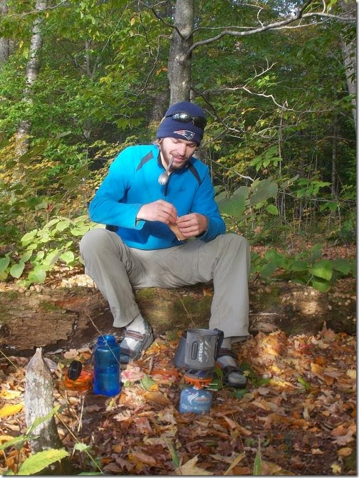
Purgy No More cooking breakfast!
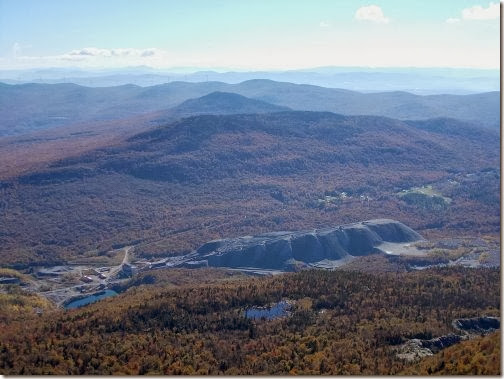
The view from the Belvidere fire tower. It looks like there’s
a large quarry or something over here, but I’m not
sure what they’re doing here.
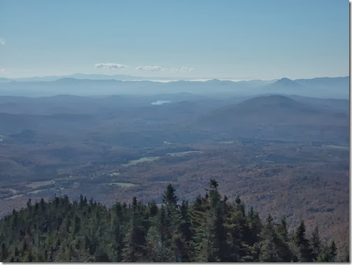
Another view from the Belvidere fire tower.
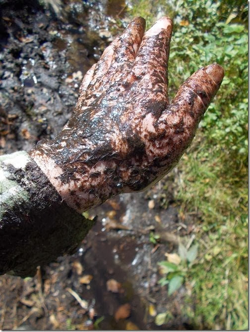
I took a fall—right into the mud! (The mud in the background
is the stuff where I fell.)
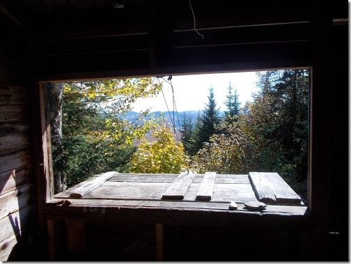
View from inside of the Tillotson Camp.
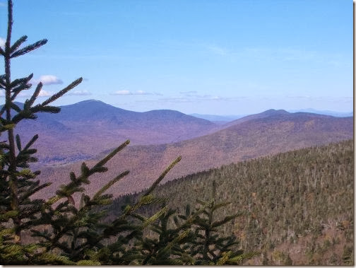
The view ahead… The high peak in the background on the
left is Jay Peak—and the trail will go right to the top of it.
Tomorrow, though. Tomorrow. =)
3 comments:
I believe that the "quarry" that you saw on Belvidere is an old asbestos mine. It used to be one of the largest suppliers of asbestos in the US back in the 60's and 70's.
PI Joe
What Joe said - and it's all dead and eerie.
Tillotsen Camp is an old favorite -and the mud on Belvidere and Haystack is LEGENDARY!!!
Them Georgia boys are the kind you want to be on your side. Lol
Only Dreaming(who's enjoying a beautiful Georgia fall day)
Post a Comment